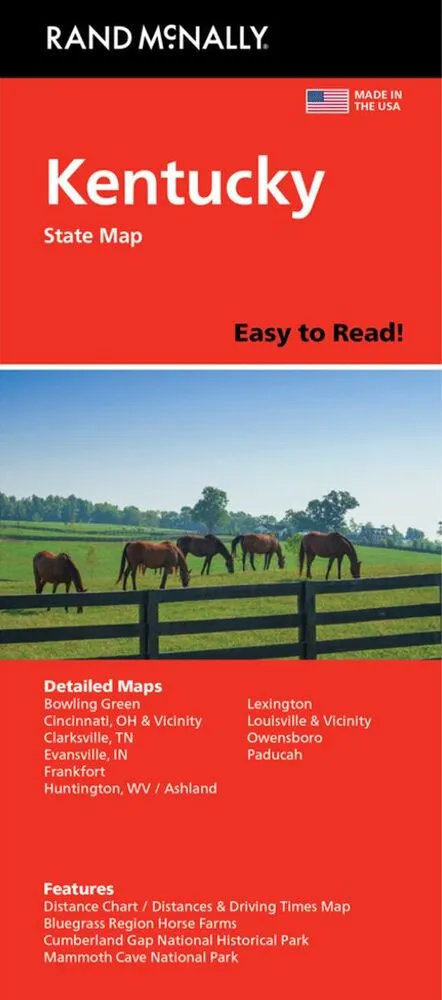
1:760.000 (one inch to 12,3 miles).
Rand McNally’s Easy To Read State Folded Map is a must-have for anyone traveling in and around Kentucky, offering unbeatable accuracy and reliability at a great price. Our trusted cartography shows all Interstate, U.S.
Relaterede varer
-
Hamlet
kr. 129,95 -
Holy Bible: King James Version
kr. 389,95 -
The Prophet
kr. 139,95